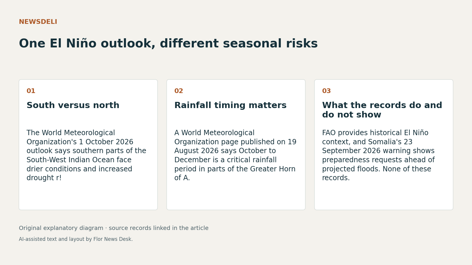
A World Meteorological Organization outlook published on 1 October 2026 makes a simple point that is easy to miss in broad El Niño coverage: the South-West Indian Ocean is not being warned about one single hazard pattern.
For October to December 2026 and January to March 2027, the World Meteorological Organization says the South-West Indian Ocean Climate Outlook Forum sees drier conditions and increased drought risk across the southern part of the region, especially South Africa, southern and central Mozambique, Malawi and south-western Madagascar. At the same time, it says parts of the northern region, including Tanzania, northern Malawi, Seychelles and parts of the Mascarene Islands, face wetter conditions and increased flood risk. The outlook also points to above-normal temperatures across the region.
That is a forecast of risk, not proof that droughts or floods have already happened. As of 4 October 2026, the outlook window has only just begun.
Why can the same El Niño episode point in opposite directions? Part of the answer is timing. A separate World Meteorological Organization page published on 19 August 2026 says October to December is a critical rainfall period for the equatorial and southern parts of the Greater Horn of Africa. It says that season contributes up to 70% of annual rainfall in parts of Ethiopia, Kenya and Somalia, and up to 40% in parts of Rwanda, Burundi, Tanzania and Uganda. In that subregion, the August outlook flagged a higher chance of wetter-than-normal conditions, including a 90% chance of enhanced rainfall over southern Ethiopia, central to southern Somalia and north-eastern Kenya.
That August record is not a forecast for every country in the South-West Indian Ocean. But it helps explain why northern and eastern parts of the wider region can be watching for heavy rain while southern areas are worried about dryness.
The FAO El Niño hotspot page adds broader context. FAO says El Niño has generally brought above-average rainfall in the Horn of Africa between October and December, with possible flooding and landslides. It also says that, in past years, El Niño has been associated with reduced rainfall across most of southern Africa between November and March, during the main cropping season. FAO’s page is a risk-screening tool that combines historical El Niño patterns with current concern areas, not a country-by-country outcome record. Still, it helps show why one climate signal can line up with different agricultural and humanitarian problems in different places.
That matters operationally. The public records here do not prove that every aid trigger or supply plan is inadequate. But they do support a narrower conclusion: an alert that simply says “El Niño” tells planners less than a place-specific seasonal outlook. The 1 October World Meteorological Organization page explicitly says there is no single regional impact scenario.
Somalia shows what the wetter-risk side of the warning looks like in practice. In a 23 September 2026 release, the Federal Government of Somalia and the United Nations warned that projected flooding and funding shortfalls could worsen hunger and malnutrition between October and December 2026. The release says 5.4 million people are projected to face crisis levels of hunger or worse in that period, and it calls for food and cash assistance to continue, along with pre-positioning of supplies before flooding restricts road access in October. That is a preparedness request, not evidence that those flood disruptions have already occurred.
There is a second layer of complexity. The 1 October World Meteorological Organization outlook says tropical cyclone activity across the basin is expected to be below normal overall, but with tracks shifted southward. It also warns that a lower basin total does not mean local cyclone risk disappears, and says the Mascarene Islands retain a near-normal cyclone risk.
So the useful takeaway is limited but clear. As of 4 October 2026, the source record supports treating this as a multi-hazard season shaped by subregional geography and different rainfall calendars. It does not yet establish donor disbursement schedules, country trigger rules or measured results from anticipatory action.